[vc_row][vc_column][vc_column_text]
How to create your own google map
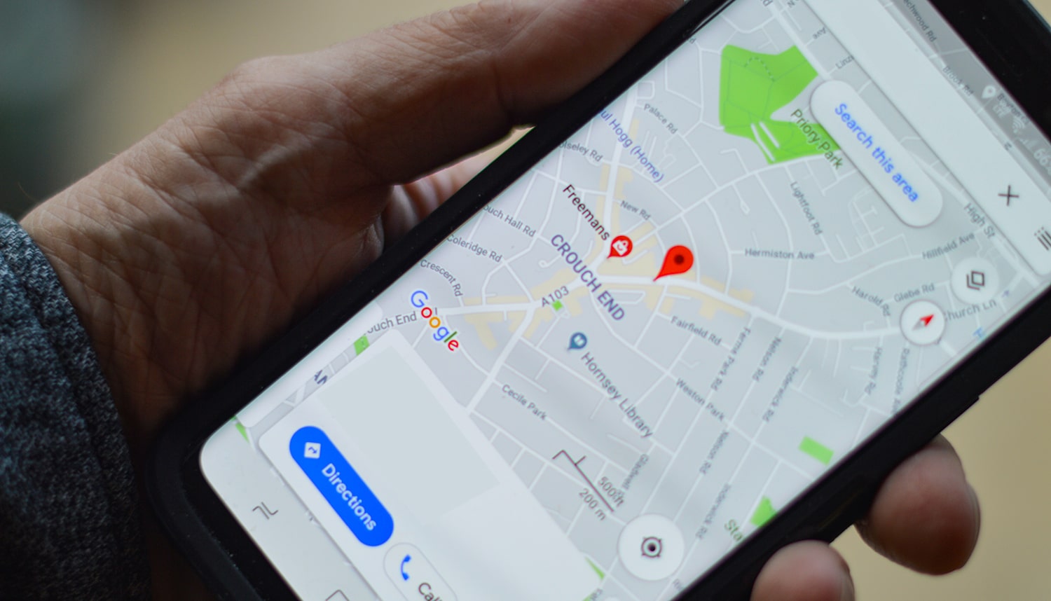
Google map actually offers a set of tools for creating your own maps, making routes, points of interest, directions, and many more. To get started, make sure you’re signed in to your Google account and go to WP MAPS PRO. It’s easy to set a location and mark your routes, but you can also import layers and data, color different areas and routes, and a lot more. Google Maps is a web map service developed by Google Maps. Google maps shows 360° panoramic views of streets image, maps options, street view maps, real-time traffic conditions, and route planning for traveling by walk, car, bicycle and public transportations. Street View and high-resolution satellite images allow you to create more experiences with additional detail. Maps are usually used to find someplace, especially if it’s unfamiliar territory. You can create Map to edit your own Google map. Give your map a title and description to click Save it on. You can now pin your locations manually by clicking the marker icon and placing it directly to the map, or You can search for locations using the search box at the top of the screen.
What makes our plugin advanced
WP MAPS PRO Plugin is the most WP MAPS PRO plugin ever created. You can create your multiple filters using the backend. You can create or display multiple posts type on a single google map. You can display an info window on just click on a shape. Customize Stroke Color, Stroke Opacity, Start Location, End Location, and waypoints to create a route. Using placeholders for {marker_title},{marker_address},{marker_message},{marker_latitude},{marker_longitude}, customize the info window message.Change the zoom level of the map on marker click for better visibility. You can set height, width, zoom level, map type, enable/disable scrolling wheel, draggable property. Google maps are fully responsive and adjust automatically according to the device. This plugin provides lots of beautiful and responsive info window templates. Admin can choose anyone according to requirements. With this plugin you highlight certain areas on map by drawing colorful customs shapes. Import and export map location easily with few clicks. Advance Google map plugin display categories, directions, routes, and nearby tabs together on google maps. Display location with category name and number of locations assigned. You can keep backup of locations, routes, maps, and categories. You can also assign permissions to your users to manage your location, categories, routes, and maps.
Zoom levels
Double-tap on a section of the map and check the zoom level of the map. You can drag up or down on the screen to zoom in or out. You can set zoom level (as the number of zooms) is a value representing the magnification of all over the map. Every time you double-click the mouse to zoom in or out click the mouse wheel forward. The Google Maps API provides map tiles for map type images. Most roadmap image is available from zoom levels you can set up 0 to 18. Zoom level works with latitude, longitude and zoom in and zoom out. High zoom levels means that the map can show details of a city, while Low zoom means that the map shows only entire continents.
Radius
You can know the radius of a circle anywhere on Google Maps by simply clicking on a single point and extending or moving the circle to change the radius on the Map. You can use this map to find the radius around a point on the map. Insert in the radius required in kilometers or miles and then click on the map at the center of where you wish the circle to appear. You can then create as many radius as you wish. Google map Radius Tool allows you to draw a radius circle in miles or kilometers from any of your locations in order to quickly determine distances. This mapping radius tool makes it easy to quickly run an analysis on a segment of your location data. It’s useful for determining where certain points on your map lies. The end result is a beautifully simple, easy-to-understand of your location data. Creating a distance of radius circle around a location can be done in seconds in Google Maps. You can also select colors for your radius circle to make it even beautiful and easier to view on your Google map.
Google map WordPress
The easiest to use maps plugin you can add a customized Google map to your WordPress posts and/or pages quickly and easily with the supplied shortcode. It easy to use for contact page maps, routes, maps showing delivery areas. Edit your map markers with google map. Google map choose from four Google maps types: roadmap, terrain, satellite and hybrid. Visitor’s can show your location on the Map. Import KML/KMZ files to your map. You can display an info window on just click on a shape. Customize Stroke Color, Stroke Opacity, Start Location, End Location, and waypoints to create a route. Google maps shows 360° panoramic views of streets image, maps options, street view maps, real-time traffic conditions, and route planning for traveling by walk, car, bicycle and public transportations. You can also choose the map size, pin color, zoom level, themes, maps type etc.[/vc_column_text][/vc_column][/vc_row]